Another walk, this time from a garage at the far end of Preston Docks into the City Centre, about 3 miles each way, more than you’d think. Walking along Chain Caul Way, turning right into Lockside Road to the outer lock gates.
Here’s the view from the lock gates down the river with the tide quite low. It was a bright early morning about 8.30am.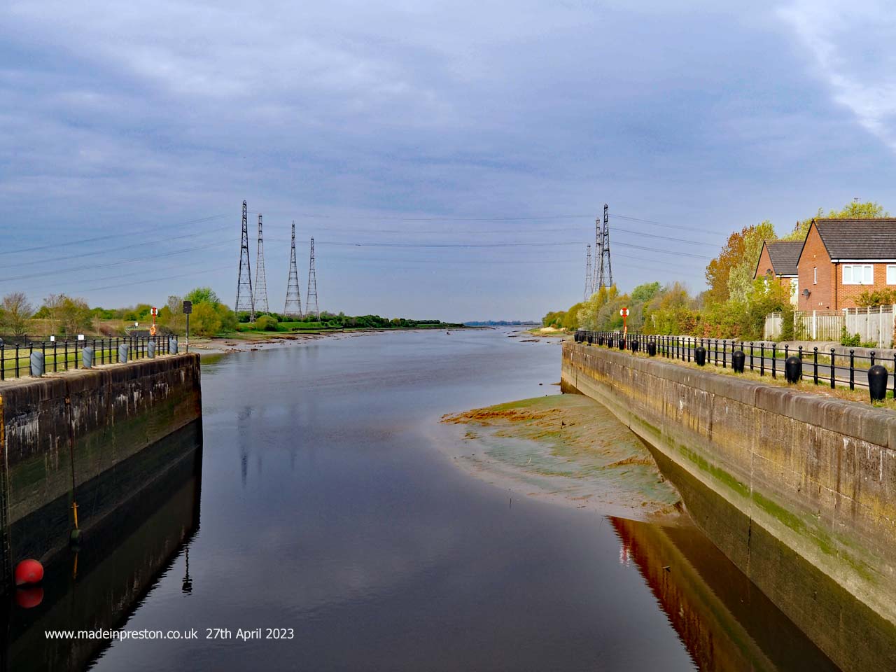 The view along the River Ribble from the Port of Preston Basin Locks
Looking the other way is a view into the docks as a ships crew might have seen it coming in from the river. The basin looks a lot smaller than memories and looks like it needs dredging. Oil ships used to moor here, now the oil comes in by train and it was a bit disappointing to see its load being moved in the opposite direction near the Park and Ride on Strand Road.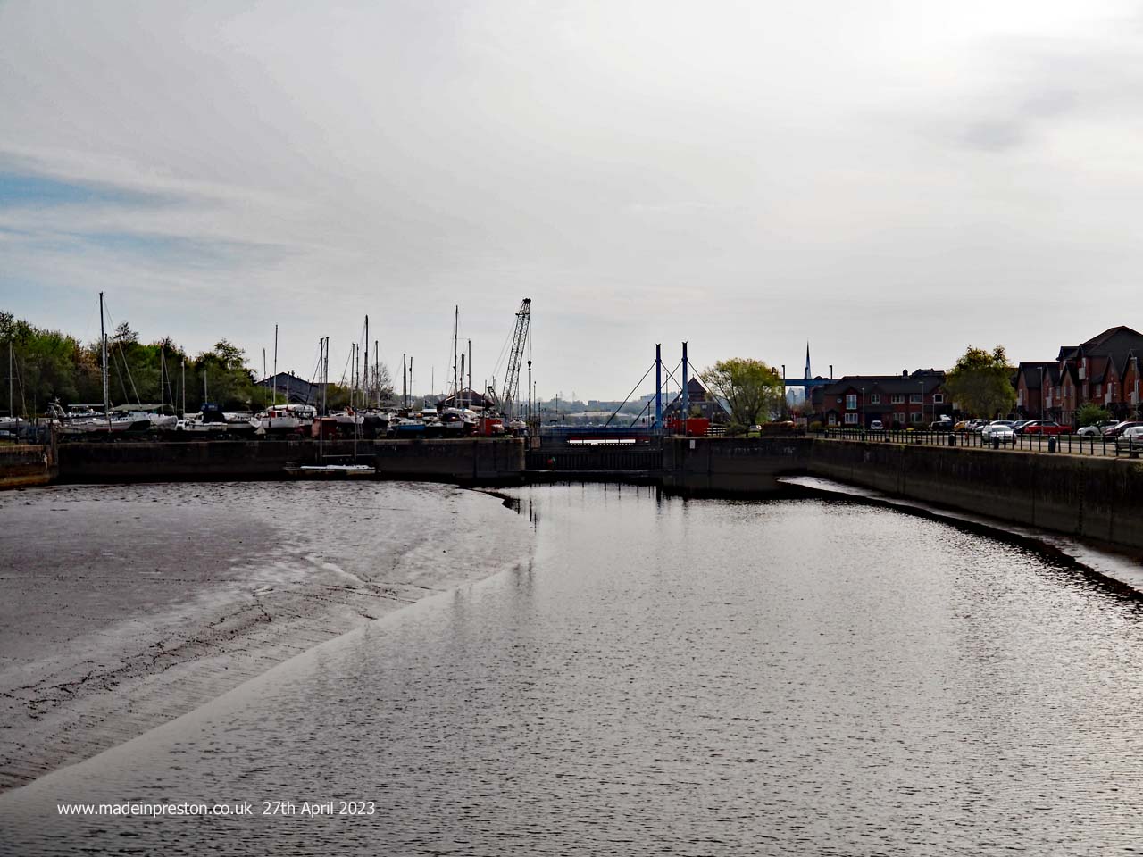 The view into the Port of Preston from the outer Basin Locks
Crossing the lock gates takes you to the Bullnose which protrudes from the dock area creating a junction to the river. At hight tide canal barges turn off to the right at Savick Brook after crossing from the River Douglas, this is part of the passage from the Leeds Liverpool Canal to the Lancaster Canal.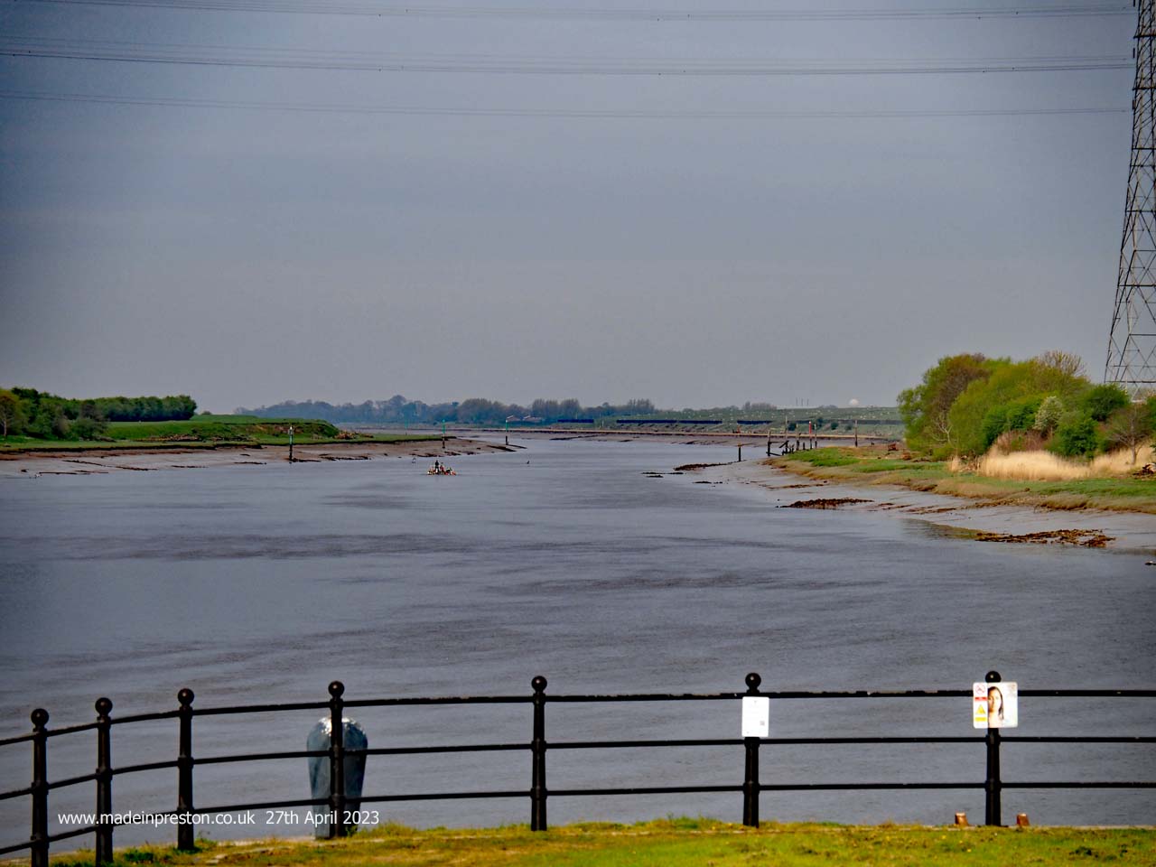 The view along the River Ribble from the Bullnose at the far western end of Preston Docks
On the river side of the Bullnose is a view into Preston. There used to be ship breakers along there. The river once went through the north of the dock but was diverted when they built it. It has a lot of meanders as it gets into the flatter areas west of Preston and is tidal on a big tide another 4 miles upstream.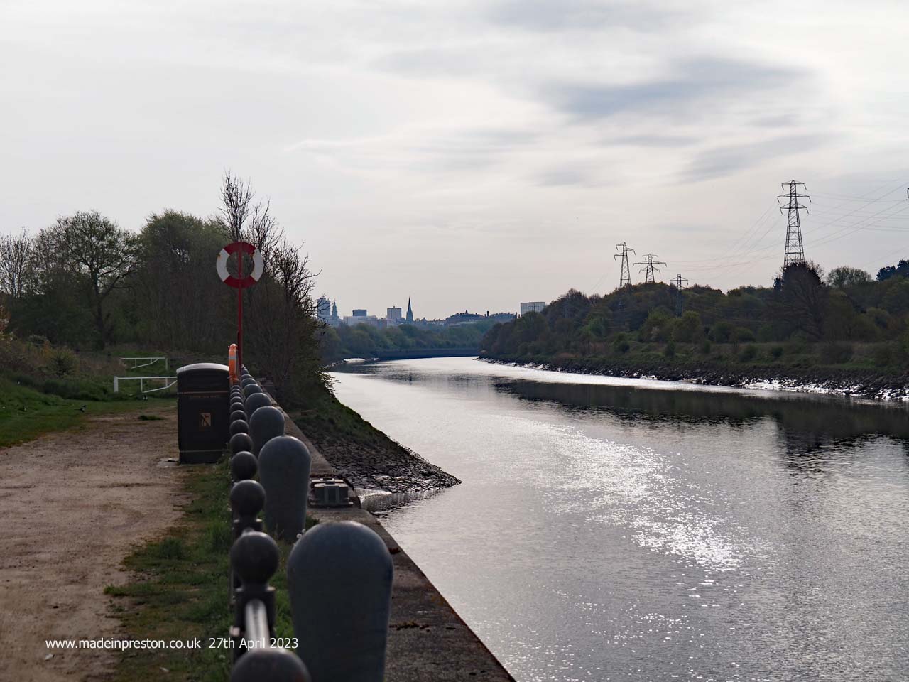 The view along the River Ribble into Preston from the near the Bullnose at the far western end of Preston Docks
Inside the main dock, which is one of the biggest single dock areas in Britain. A view towards Preston and the 2nd highest steeple in England, St Walburge’s. To the right is the spire of St Peter’s at the University. To the left is the tower of St Marks, now apartments, and on the edge of the river valley.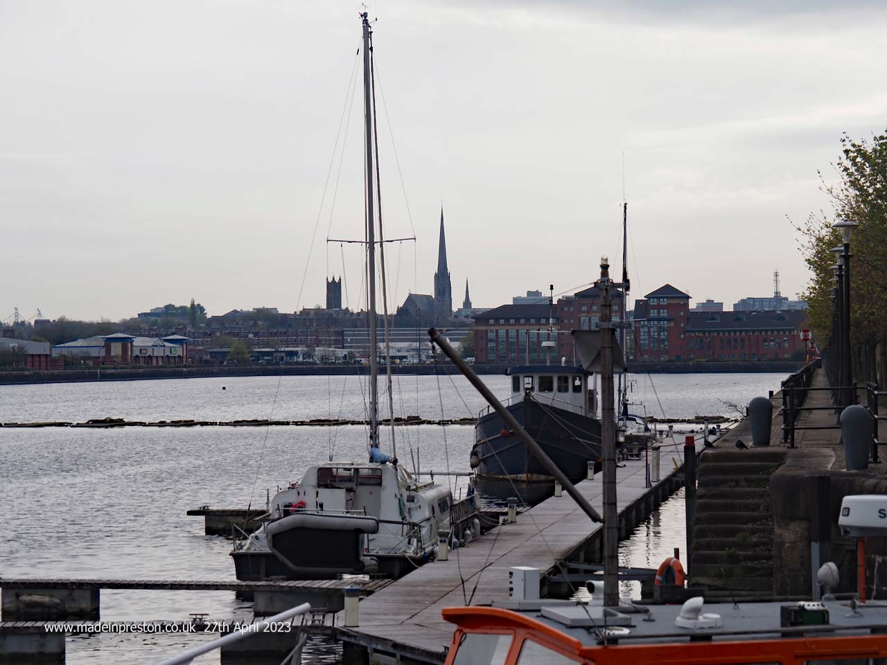 The view inside the main dock at the Port of Preston
Passing the car dealers on Port Way and past the Park and Ride on Strand Road. Crossing Strand Road and up Hartington Road, left at Christ Church Road up to Bow Lane turning right to Fishergate Hill. Here’s a photo of Walton’s Parade near the station, quite an attractive terrace.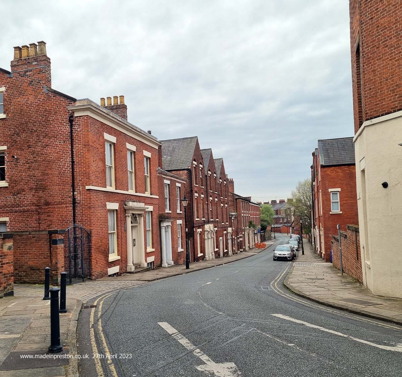 Walton’s Parade off Fishergate Hill, Preston
Passing the station and straight on, here is Mount Street former Hospital and Orphanage. The attractive tower will be retained in a new housing development. 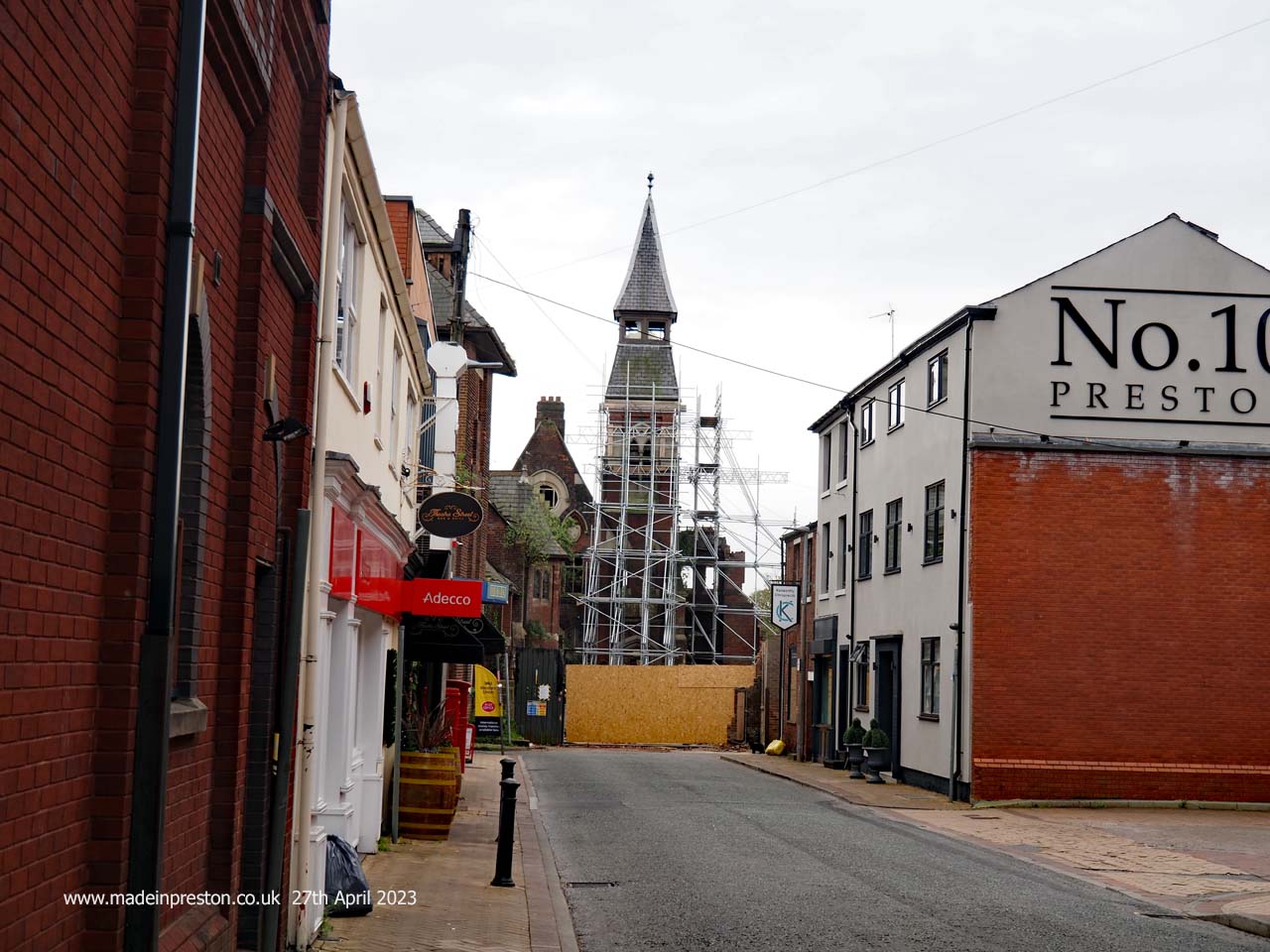 The remains of Mount Street Hospital, Preston
The Harris is more covered in plastic at every visit, this must be the limit. Due to re-open in 2024 with an expensive refit.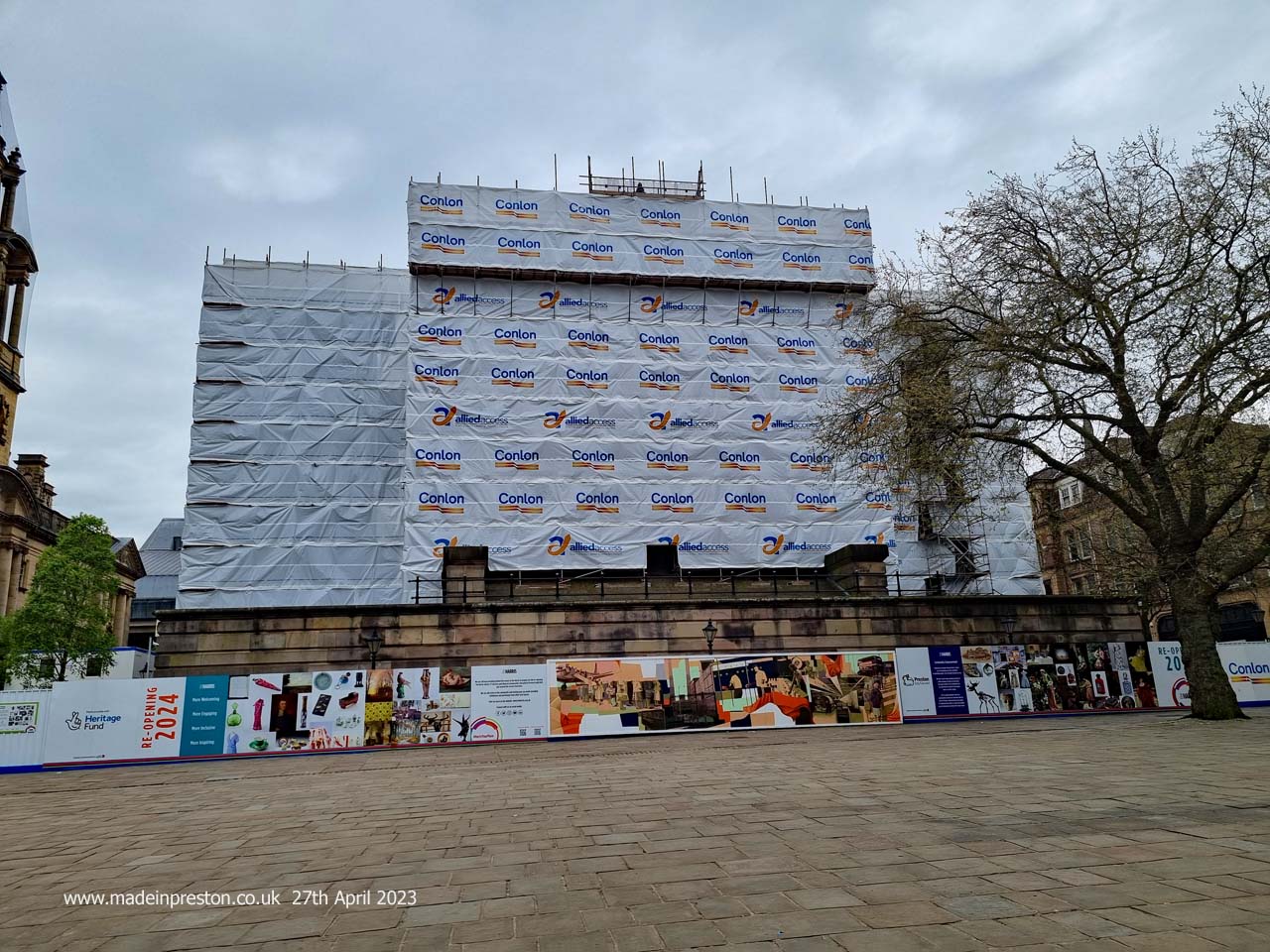 The Harris Museum, Art Gallery and Library, Preston, now completely wrapped in plastic during refurbishment
After wandering around a few shops and taking refreshment, time to head back popping onto the station to take a few photographs. Same walk the reverse route althoug there are a few other routes. The only difference was crossing the swing bridge in the docks and using the path on the other side of the basin. 6 miles total up to the station and then wandering round, quite enough.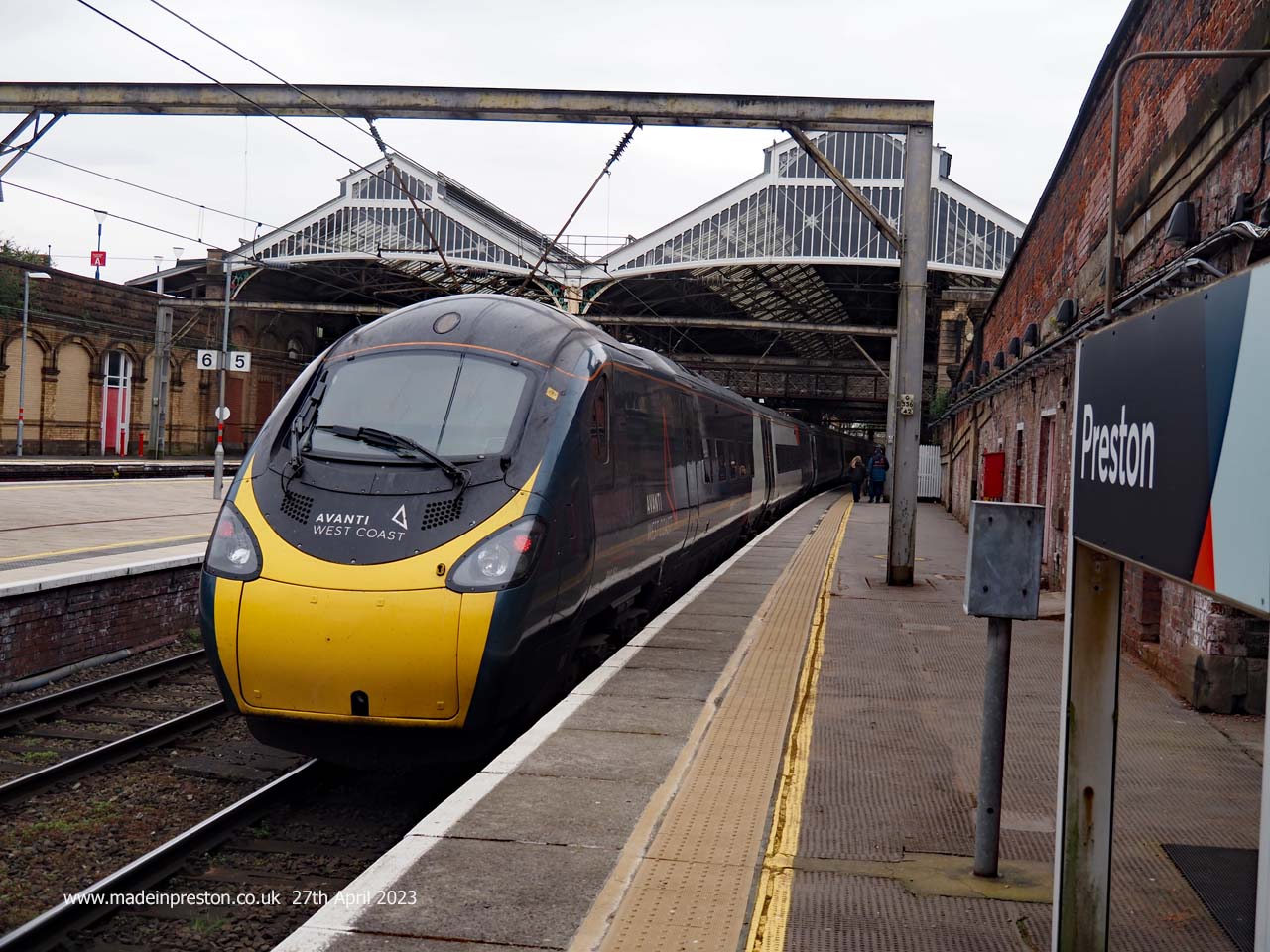 The London train departing at the far northern end of Preston Station